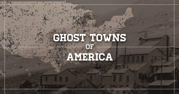
Using data from over 3,800 abandoned towns across the country, Geotab, a global leader in IoT and connected transportation, created an interactive map which showcases the number of ghost towns in each U.S. state and highlights 10 striking examples of these historic communities.
Geotab’s “Ghost Towns of America” map allows users to explore the cities with the most neighboring ghost towns within a 25-to-50-mile radius or by location and distribution across America’s states and counties.
Focusing on history and the structural remains left, the piece spotlights 10 compelling examples of American ghost towns by diving deeper into their story and showcasing a selection of high-res photos that allows users to explore what these towns look like today.The states with the highest number of ghost towns are Texas (511), California (346) and Kansas (308). On the other hand, Rhode Island and Connecticut are home to the fewest, with just one and four respectively.
Additionally, the counties with the most ghost towns are Kern County in California (113), Lawrence County in South Dakota (93) and Indiana County in Pennsylvania (36).
Check out pictures of the 10 featured creepy ghost towns below, then go explore the interactive map of America’s ghost towns and learn more about each one of these abandoned places by clicking the graphic (or this link) at the bottom of the page.
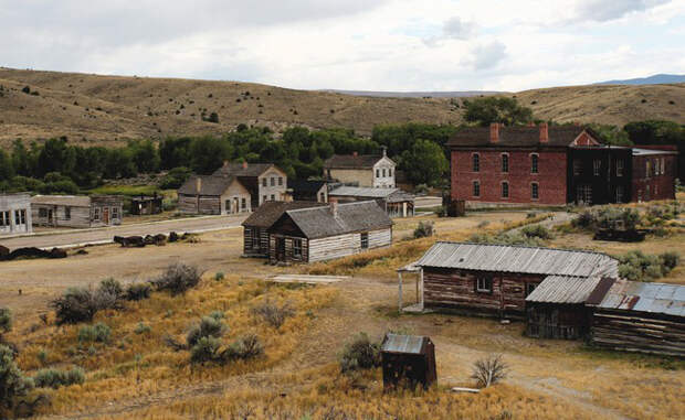
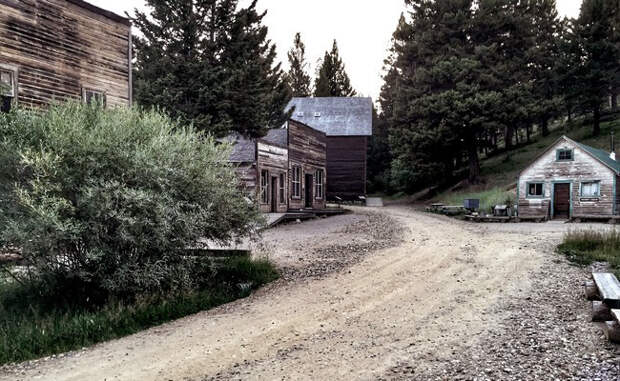
Bannack, Montana
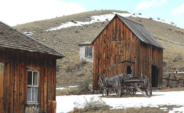
Berlin, Nevada
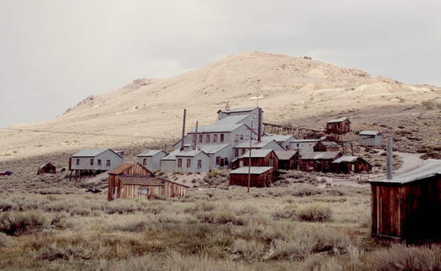
Bodie, California
Castle Dome, Arizona
Fort Jefferson, Florida
Garnet, Montana
Harrisburg, Utah
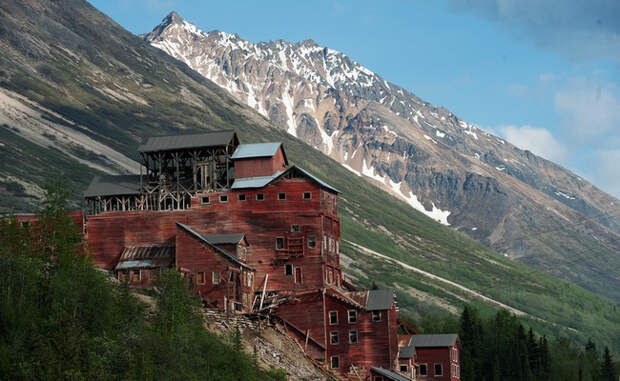
Kennicott, Alaska
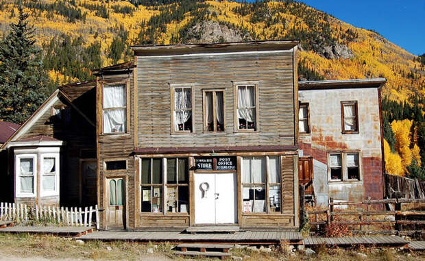
St. Elmo, Colorado
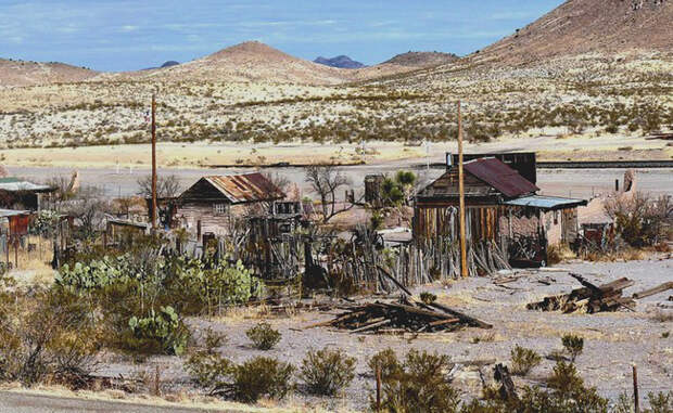
Steins, New Mexico